
The Department of Education launched an artificial intelligence-powered platform nationwide to help schools monitor hazards using satellite imagery and geospatial data, part of a broader push to prepare for disasters that could disrupt classes.
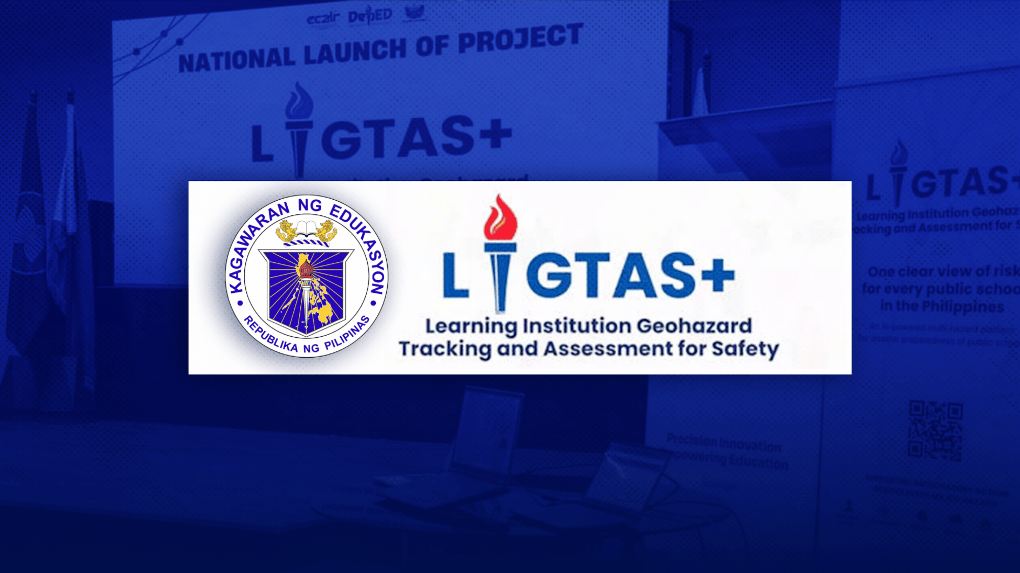
Education Secretary Sonny Angara led the rollout of Project LIGTAS+, or Learning Institution Geohazard Tracking and Assessment for Safety, an AI-enabled multi-hazard analytics platform developed by DepEd’s Disaster Risk Reduction and Management Service in partnership with the Education Center for AI Research.
The platform monitors elevated risks near more than 47,000 public schools nationwide, tracking rainfall, extreme heat, wind speeds and temperature changes in real time to detect hazards early.
It also features an interactive multi-hazard map, school-level risk profiles, flood intelligence using satellite synthetic aperture radar data, earthquake impact assessments, volcanic activity monitoring, and AI-powered weather forecasts up to 10 days in advance.
Angara called for a shift from reactive to proactive disaster preparedness.
”We cannot solely rely on our resilience, especially when it comes to education,” he said. “We have to make sure that our schools are prepared, ready to respond, and ready to move forward with learning, whatever challenges may come."
"It is not enough to know that there is a hazard,” he added. “We need to know where it is, who will be affected, how great the risk is, and what we need to do before a hazard becomes a crisis.”
DepEd cited data from the Second Congressional Commission on Education showing that schools lose an average of 40 to 50 instructional days each year because of natural hazards.
A demonstration showed the platform can cut the preparation time for official situation reports from hours to about 5 minutes.
DepEd Undersecretary for Governance and Operations Malcolm Garma said the system is designed to support more localized, school-level decisions on class suspensions and resumptions, rather than blanket cancellations across entire localities. He said the platform will still depend on regional and division offices for support during severe calamities such as flash floods or earthquakes, when infrastructure limitations may affect its use.
Beyond emergency response, DepEd said the platform’s data could inform longer-term decisions, including the design and construction of more disaster-resilient school buildings, and support the prepositioning of emergency learning packages, including Edukahon, in communities identified as high-risk ahead of typhoons and other disasters.
The nationwide rollout was marked by a commitment signing between DepEd and partner agencies, including the Department of Science and Technology, the Philippine Atmospheric, Geophysical and Astronomical Services Administration, the Philippine Institute of Volcanology and Seismology, and the University of the Philippines Resilience Institute.
”Through LIGTAS+, with its artificial intelligence-powered features, we will have clearer and more actionable information to support our schools,” Angara said.