

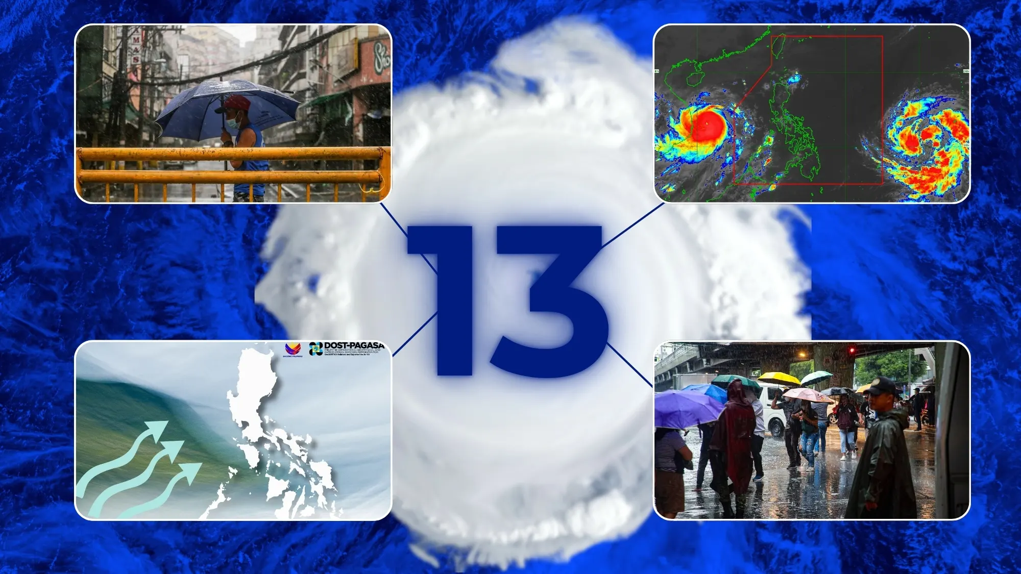
The Philippine area of responsibility (PAR) is to expect the formation or entry of nine to 13 tropical cyclones from July to December 2026 as a result of intensifying El Niño, according to the Philippine Atmospheric, Geophysical and Astronomical Services Administration (PAGASA) on Wednesday.
Two to four storms have been forecasted for the months of July and August, two to three in September, and one to two each in October, November, and December, with the next tropical cyclone names for the year including the following: Gardo, Henry, Inday, Josie, Kiyapo, Luis, Maymay, Neneng, Obet, Pilandok, Queenie, Rosal, Samuel, and Tomas.
At the same time, two tropical cyclones are currently active within and around the PAR as Typhoon Francisco looms over the northern Philippine Sea east of Batanes and may exit on Thursday evening, while tropical storm Higos may briefly enter from Thursday evening to Friday morning or afternoon and will be assigned the local name Gardo.
Despite the prevailing El Niño, however, Pagasa expects the tropical cyclone activity from July to September to remain near normal as they may help enhance the southwest monsoon or Amihan during the raining season.
This decrease in storm number is inferred to become more apparent during the last quarter of the year, where tropical cyclones tend to make landfall and cross the country, prompting the agency to prepare for stronger cyclones of typhoon and super typhoon strength during this period.
These predicted forecasts is the result of climate model projections cited by Pagasa, which now has more than a 60 percent chance of intensifying into a strong event by the last quarter of the year through the first quarter of 2027, a phenomenon dubbed the “super” El Niño.
“The peak of El Niño may happen during the last quarter of the year up to the first quarter of 2027,” Pagasa Climate Monitoring and Prediction Section Chief Ana Liza Solis said during a climate forum on Wednesday.
El Niño is the warm phase of the El Niño-Southern Oscillation (ENSO), a naturally occurring climate pattern marked by variations in air pressure, sea surface temperatures, and wind speed and direction over the equatorial Pacific.
When sea surface temperatures in the central and eastern Pacific are at least 1.5°C above average, an El Niño episode is considered strong, and when anomalies surpass 2.0°C, it is considered very strong. There have only been three such instances of a “super” El Niño in the last fifty years: 1982–1983, 1997–1998, and 2015–2016.
Despite the projected rainfall decline at the end of the year, Pagasa is not yet forecasting meteorological drought or rain in any province, though, by the end of December, the number of provinces under dry spell may increase to 51, while another 30 could experience dry conditions.
“We are not trying to scare you. These are just some of the possible scenarios that could happen, so we need to prepare as early as now,” Solis clarified, adding that a hotter and drier warm and dry season is also likely, should El Niño persist through the first half of 2027.